Some stats, notes and observations:
- Duration: 4.5 hours (including a few stops for water, snacks, etc.)
- Distance: 12.3 miles
- Elevation Gain: 2000+ feet
- Weather: 36° F at 8am; 46° F at 12:30pm
- Starting Location: El Corte de Madera Parking Area (16040 CA-35, Redwood City, CA 94062)
- Hike (URL): https://www.alltrails.com/trail/us/california/skyline-bear-gulch-alambique-and-meadow-loop
- Wunderlich CP Information: https://parks.smcgov.org/wunderlich-park
- Lunch: http://www.milagrosrc.com
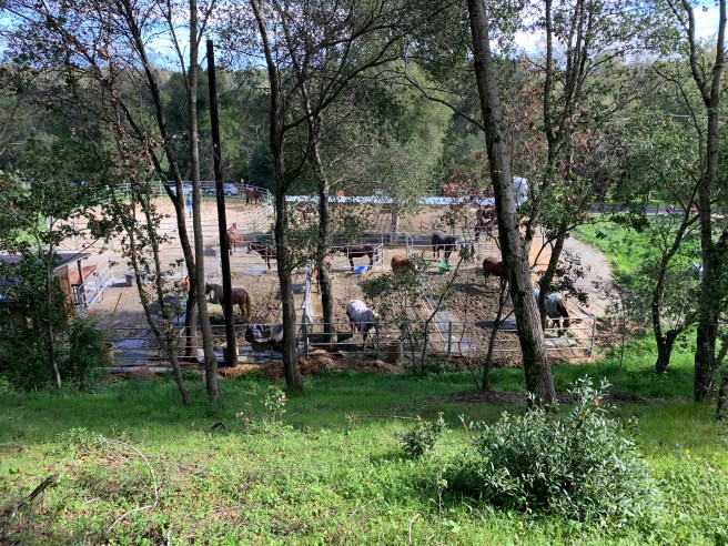
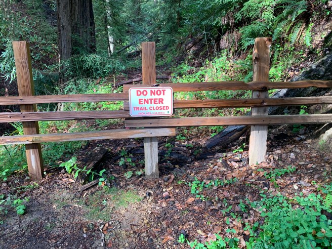
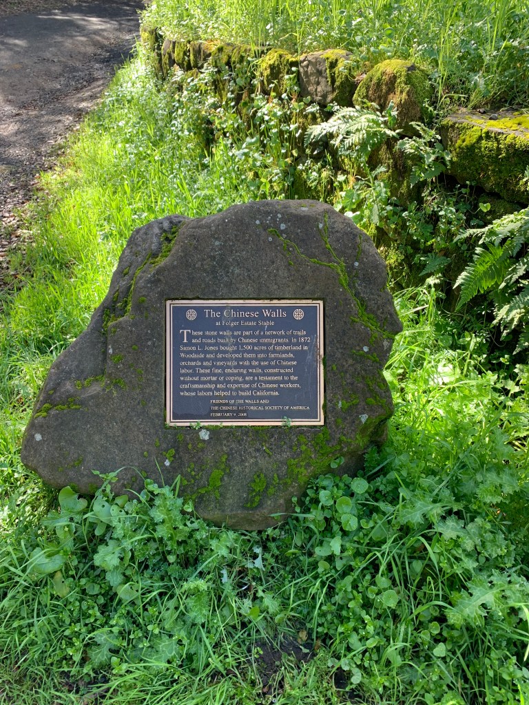
- Notes and Observations: Wunderlich (942 acres) is one of quite a few options available to hikers, from Skyline Boulevard (Highway 35), between Highway 92 in the north and Highway 84 in the south, in San Mateo County, about 25 miles south of San Francisco. Others include Purisima Creek Redwoods Open Space Preserve, Huddart County Park, El Corte de Madera Creek Preserve, and Windy Hill Open Space Preserve. I have hiked each of these, so Wunderlich was next on my list. This one was longer than expected. Per AllTrails, this one should have been 9.8 miles. Granted, some parts of the route were closed (see below), so we had to take a few detours. From the parking to the trailhead and back, you could probably add another 0.4 miles. Lewis/Clark perhaps I was not on this hike, so add another 0.5 miles for backtracking. To be clear, no complaints; as I told the crew, this is bonus mileage, to help ensure even greater appreciation for the apres-hike beverages and delicious super chicken burrito lunch at Milagros. It was cold, but soon clear, in the morning and did not really warm up, if you consider 46 degrees warm, until the end of the hike, and a very decent uphill portion. Mild switchbacks, nothing compared to the near vertical portions of last month’s hike, to Mount Diablo. It had rained the night before, and a few drops were falling at the beginning of the hike. Suffice it to say that, as far as I can recall, the local meteorologists had not forecasted this rainfall, however minimal. You’d think that having nothing to do for the past two months (constant weather, no rain) at least they could have predicted this. Alas, we hiked on, first flat, then a steady downhill, with views of Stanford’s Hoover Tower and the snow-dusted East Bay hills, to the Folger Stable Historic Site at the bottom (300 feet), a quick snack break, before heading back up, past more second-growth Redwood, Monterrey Cypress, Madrone, California Bedstraw, and Toyon. Before we knew it (okay, I’m exaggerating a bit, as this was still a twelve-mile hike), we heard the low hum of Skyline Boulevard (2200 feet), and sensed the end of our hike. Robust conversation abounded, with the Ukraine crisis top of mind. Five hikers this time, four immigrants, with the remaining hiker having lived for a year in Russia. Sixteen miles from my current home, and more than six thousand miles from my original home (Kyiv); two worlds, if not universes, temporarily linked by a horrible conflict. Of course, an open dialogue is necessary, but insufficient. Action is demanded, whether through donating resources (e.g., Nova Ukraine, UNICEF Ukraine, UNHCR Ukraine, World Central Kitchen Ukraine) and services, writing to your local representatives, and/or generally raising awareness. I will be writing more on this important topic in the coming weeks (if not months, if this conflict is not resolved satisfactorily, for Ukraine, soon). Stay tuned. My next hike will be shorter, I promise. 5-7 miles per the app, and probably a little longer in vivo.