Some stats, notes and observations:
- Duration: 5 hours (including a few stops for water, snacks, etc.)
- Distance: 11.6 miles
- Elevation Gain: 3,363 feet
- Weather: 42° F at 8am; 62° F at 1pm
- Starting Location: Ohlone College – Student Parking K, Pine St, Fremont, CA 94539 (37.52772, -121.9154)
- Hike (URL): Mission Peak and Peak Meadow Loop from Ohlone College (https://www.alltrails.com/trail/us/california/mission-peak-from-ohlone-via-stanford)
- Mission Peak information: https://www.ebparks.org/parks/mission-peak
- Lunch: https://deafghanancuisine.com
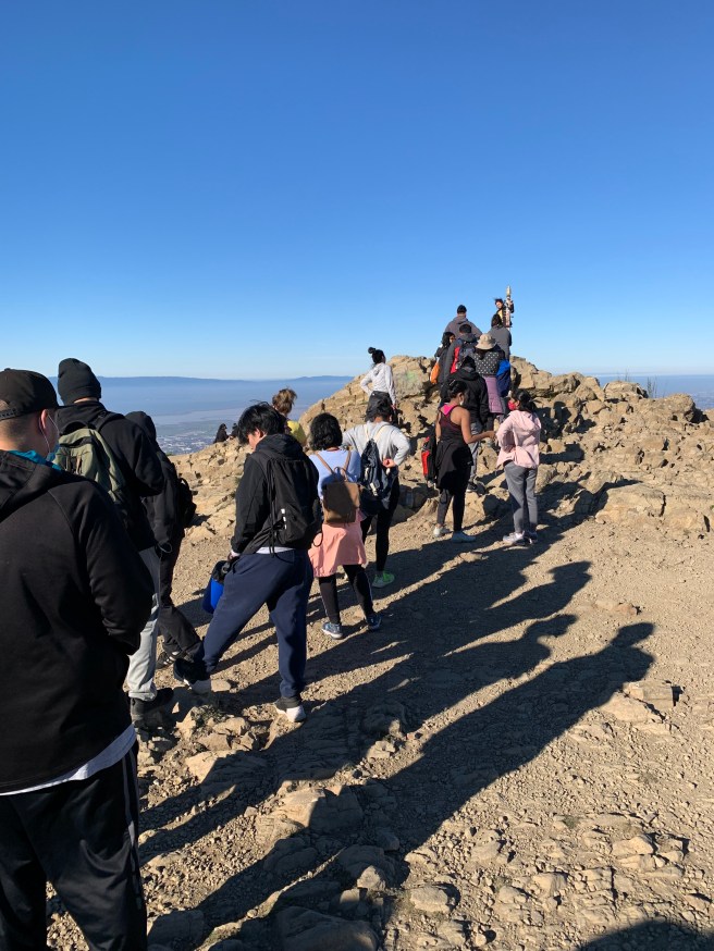
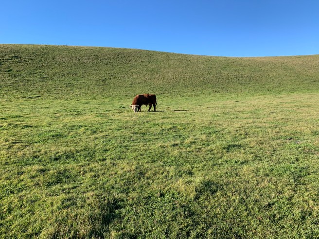
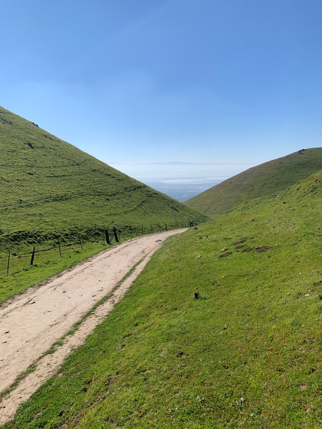
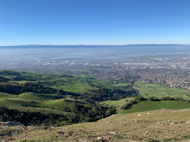
- Notes and Observations: Leave early. Parking is free on Sundays. The climb to the peak is more gradual from the Ohlone College Parking Lot. Bring layers, as it gets hot quickly, especially if you keep a brisk pace (3 miles per hour). Check the soles of your hiking shoes. You will need good traction on the way up and even more so on the way down, especially after the ridge on the southern edge of the hike. There are a few hiking options: 5.8, 7.3, and 10.6 miles. If you have time, consider the 10.6 option. There are two monster ascents; well, the first ascent to the peak is more than manageable, while the second ascent, from the Stanford Avenue Staging Area is a monster, 1500 feet in less than two miles, a grind (https://johnpavolotsky.com/2022/01/20/the-daily-grind/), a metaphor for some aspects of life, glute-buster, straight up, perhaps a switchback or two, mercifully a few flats, and then the final descent, back to the parking lot. The peak (2,517 feet) is a bit of a zoo, a long line of hikers waiting to take their pictures at the famous pole, flashbacks to Disneyland, without the fast pass, of course. Frankly, the best part of the trail, besides the climb up from the Ohlone College parking lot, is the hike along the ridge, south, to the intersection of the Peak Trail and the Horse Heaven Trail. Few hikers, views of Mount Hamilton to the south, the Santa Cruz Mountains to the west, Mount Tam, an island above the clouds, to the northwest, and Mount Diablo to the northeast. No Sierra Nevada viewings, due to the haze to the east (no rain in almost a month – ugh). As mentioned, the descent to the Stanford Avenue Staging Area is super steep. Recover for a few minutes at the picnic tables, then proceed to the second ascent, described above. Two hikes for the price of one, perhaps. It appears that Mission Peak was named after Mission San Jose (1797), in present day Fremont, California. The Ohlone Indians lived on these lands and in time cattle grazed what soon become a sprawling rancheria. You will still see cattle here, sometimes a few feet from the trail, focused intently on grazing on the (still) green grass. Wild turkeys could be seen as well, farther from the trail. A hawk or two soared above us. Perfectly sunny day, as evident from the pictures, with our monthly hike consummated with ice-cold beverages and fabulous local kebab (see details above). Last, but not least, dogs and bicycles are generally permitted throughout this park, but be sure to check the map before your hike or ride. Comments welcomed.