Some stats, notes and observations:
- Duration: 3.5 hours (including a few stops for water, snacks, etc.)
- Distance: 9.8 miles (8.5 per All Trails)
- Elevation Gain: 1,745 feet
- Weather: 53° F at 8am, 34 AQI, partly cloudy
- Starting Location: South Parking Lot, Purisima Creek Redwoods OSP parking lot (@Skyline Blvd)
- Route (URL): https://www.alltrails.com/trail/us/california/summit-spring-crystal-spring-bay-tree-and-dean-loop
- Route Details: Loop: Summit Spring to Crystal Springs to Bay Tree to Dean to Chinquapin
- Park Map: https://parks.smcgov.org/sites/parks.smcgov.org/files/HuddartMap-Nov2018-FINAL-web.pdf
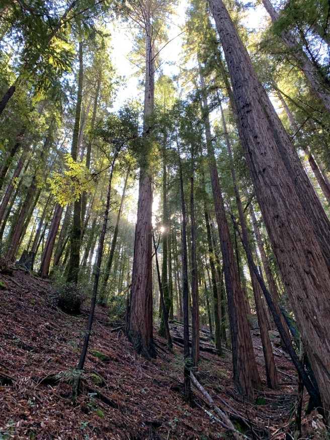
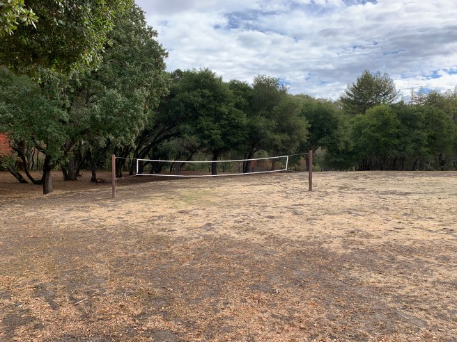
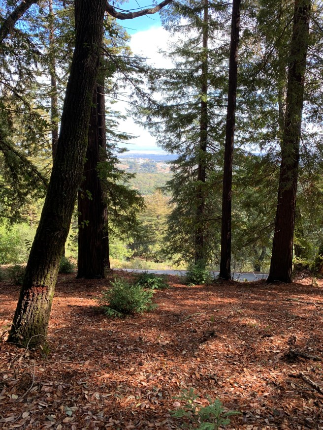
- Notes and Observations: This was our shortest and probably least demanding hike since Montara Mountain, but it had its own challenges, as noted below. Make sure your phone is fully charged and, to be safe, bring an extra battery pack; you will need GPS to follow the trail suggested by All Trails. Alternatively, download the map (if you have an All Trails subscription), print out the Park Map above, and/or bring a compass. Navigation was challenging, to put it mildly, and thankfully my phone did not die until our intrepid crew was on Chinquapin, well on our way back to the starting point of our hike. Frankly, you might be better off printing the Park Map and tracing your loop. Regardless, be prepared for second growth redwoods (the old growth ones are in Victorian homes (San Francisco), if not burned in the 1906 earthquake), madrones, coastal oak, fir, and California bay trees, and a busy, but pleasantly soft, forest floor. It had rained the day before, but the trail was not muddy. Picnic areas and restrooms abound. The trail was lightly trafficked on the way down, slightly more so on the way back up. There were a few obstructions (fallen trees, etc.) along the trail, none impassable. Located about 25 miles south of San Francisco, off Highway 35 (Skyline Boulevard), Huddart boasts almost 1000 acres and countless trails; as intimated above, getting lost is a real possibility. This early Saturday morning hike could not have happened soon enough. It had been a long week, with even more time than usual behind the screen, so the fresh forest air, even more clear and crisp after the recent rains, was much welcomed, to say the least. Lively conversation abounded, about hiking, exercise, work, travel, and sundry other topics, and before long, Highway 35 was first heard and then in sight. Possibilities for the next monthly hike include Point Reyes, Mission Peak, Wunderlich, Murietta Falls, and Mount Diablo. Stay tuned!